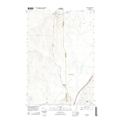
2014 Map of Patten
USGS Topo · Published 2014About this map
Patten serves as a primary northern anchor on this landscape, situated near the headwaters of Fish Stream and Peavey Brook. The territory is defined by the north-south boundary between Penobscot County and Aroostook County, a line that cuts through timbered elevations such as Ash Hill and Stafford Hill. The settlement pattern follows the drainage of the Molunkus Stream and its numerous branches, including W Br Molunkus Stream and East Branch Molunkus Stream, which historically supported the region's logging and agricultural industries. Small clusters of habitation and commerce are evident at Patten Junction, Sherman Station, and Sherman Mills, where the Sherman Mills Cem remains a notable local landmark. Remote crossroads like Siberia and evocative road names such as Potato Row reflect the area's deep roots in Maine's potato farming and wilderness history.
Find a feature on this map
44 named features on this map. Tap any name to fly to it.
Don’t see what you’re looking for? This feature index may not catch every label — zoom into the map to look around manually.
Map Details
Editions of this 2014 Patten Map
This is the sole edition of this map. No revisions or reprints were ever made.
Other maps of this area

1940 · Island Falls
USGS Topo · 1:62,500

1940 · Sherman
USGS Topo · 1:62,500

1942 · Island Falls
USGS Topo · 1:62,500

1942 · Sherman
USGS Topo · 1:62,500

1953 · Stacyville
USGS Topo · 1:62,500

1954 · Shin Pond
USGS Topo · 1:62,500

1954 · Presque Isle
USGS Topo · 1:250,000

1954 · Millinocket
USGS Topo · 1:250,000

1958 · Presque Isle
USGS Topo · 1:250,000

1958 · Millinocket
USGS Topo · 1:250,000