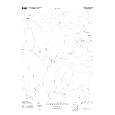
2013 Map of Patterson
USGS Topo · Published 2013About this map
Patterson and Hale Creek sit within a landscape defined by deep hollows and high ridges along the Virginia and West Virginia border. The settlement pattern here is dictated by the narrow valley floors, with communities like Slate, Matney, and Stacy following the courses of Slate Cr and its many tributaries. Further north, the terrain rises toward Bradshaw Mountain and State Line Ridge, where Paynesville and Jackson Flats occupy higher ground. This map provides a clear look at the network of rural roads, such as Coal Bank Rd and Nighway Br, that connect these isolated mountain settlements. The numerous named branches and hollows, including Chestnut Hollow and Tig Hollow, reflect the long-standing local nomenclature of this Appalachian region, offering a detailed record of the land as it was documented in the early twenty-first century.
Find a feature on this map
121 named features on this map. Tap any name to fly to it.
Don’t see what you’re looking for? This feature index may not catch every label — zoom into the map to look around manually.
Map Details
Editions of this 2013 Patterson Map
This is the sole edition of this map. No revisions or reprints were ever made.
Other maps of this area

1886 · Grundy
USGS Topo · 1:125,000

1890 · Grundy
USGS Topo · 1:125,000

1891 · Tazewell
USGS Topo · 1:125,000

1892 · Grundy
USGS Topo · 1:125,000

1895 · Tazewell
USGS Topo · 1:125,000

1897 · Tazewell
USGS Topo · 1:125,000

1910 · Iaeger
USGS Topo · 1:48,000

1912 · Iaeger
USGS Topo · 1:62,500

1914 · Bucu
USGS Topo · 1:48,000

1914 · Iaeger
USGS Topo · 1:48,000