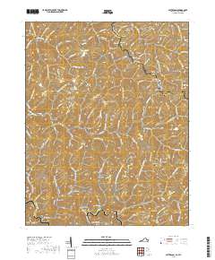
2019 Map of Patterson
USGS Topo · Published 2019About this map
Slate Creek Road and the Slate Creek waterway anchor this section of the Appalachian plateau, where the border between Virginia and West Virginia follows the crest of State Line Ridge. The landscape is defined by its deep hollows and narrow ridges, such as Estep Ridge and Brushy Ridge, which have historically dictated the placement of small mountain settlements like Paynesville, Jackson Flats, and Matney.
Find a feature on this map
122 named features on this map. Tap any name to fly to it.
Don’t see what you’re looking for? This feature index may not catch every label — zoom into the map to look around manually.
Map Details
Editions of this 2019 Patterson Map
This is the sole edition of this map. No revisions or reprints were ever made.
Other maps of this area

1886 · Grundy
USGS Topo · 1:125,000

1890 · Grundy
USGS Topo · 1:125,000

1891 · Tazewell
USGS Topo · 1:125,000

1892 · Grundy
USGS Topo · 1:125,000

1895 · Tazewell
USGS Topo · 1:125,000

1897 · Tazewell
USGS Topo · 1:125,000

1910 · Iaeger
USGS Topo · 1:48,000

1912 · Iaeger
USGS Topo · 1:62,500

1914 · Bucu
USGS Topo · 1:48,000

1914 · Iaeger
USGS Topo · 1:48,000