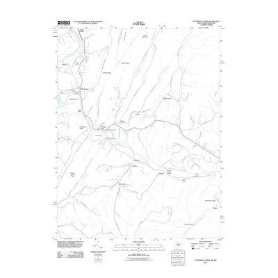
2011 Map of Patterson Creek
USGS Topo · Published 2011About this map
The North Branch Potomac River serves as the central artery for this borderland where Maryland meets West Virginia. Along its banks, small settlements and transport hubs like North Branch and Patterson Creek reveal a landscape shaped by river crossings and mountain gaps. The presence of the Spring Gap Post Office and several resting places, including Saint Marys Cemetery and the Hardy Cemetery, offer significant touchpoints for genealogical research. The terrain is defined by prominent ridges such as Collier Mountain and Nicholas Ridge, which force roads and creeks into narrow valleys like Wildcat Hollow and Moores Hollow. This 2011 survey documents a mix of agricultural tradition and recreational land use, seen in the proximity of family cemeteries to modern sites like the Wesleyan Memorial Park and Pigmans Ferry Campground.
Find a feature on this map
94 named features on this map. Tap any name to fly to it.
Don’t see what you’re looking for? This feature index may not catch every label — zoom into the map to look around manually.
Map Details
Editions of this 2011 Patterson Creek Map
This is the sole edition of this map. No revisions or reprints were ever made.
Other maps of this area

1891 · Romney
USGS Topo · 1:125,000

1898 · Frostburg
USGS Topo · 1:62,500

1899 · Flintstone
USGS Topo · 1:62,500

1900 · Flintstone
USGS Topo · 1:62,500

1901 · Frostburg
USGS Topo · 1:62,500

1908 · Frostburg
USGS Topo · 1:62,500

1920 · Keyser
USGS Topo · 1:62,500

1921 · Keyser
USGS Topo · 1:48,000

1921 · Hanging Rock
USGS Topo · 1:48,000

1922 · Keyser
USGS Topo · 1:62,500