
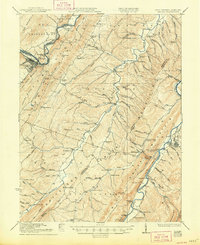
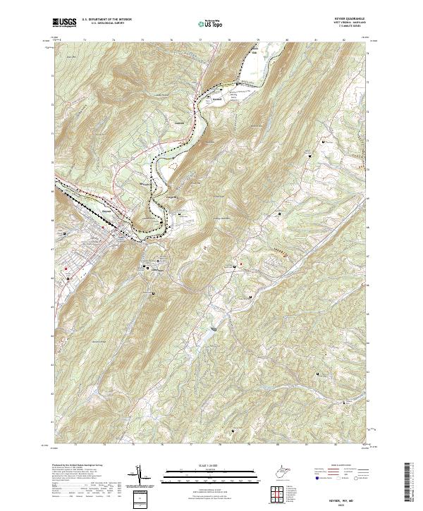
1920 Map of Keyser
USGS Topo · Published 1964About this map
Keyser and the winding Potomac River anchor this early 20th-century topographic record, where the Baltimore and Ohio RR follows the narrow river valley beneath the heights of Dans Mountain. The landscape is defined by the parallel ridges of the Appalachian Valley and Ridge province, including Knobly Mountain and New Creek Mountain. Between these stony heights, agricultural life is mapped in dense detail along the Patterson Creek valley, marked by a high concentration of community landmarks such as Trinity Church and Sandy Hollow School.
Find a feature on this map
103 named features on this map. Tap any name to fly to it.
Don’t see what you’re looking for? This feature index may not catch every label — zoom into the map to look around manually.
Map Details
Editions of this 1920 Keyser Map
This is the sole edition of this map. No revisions or reprints were ever made.
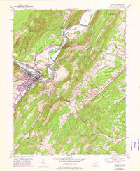
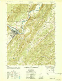
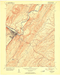
Historical Maps of Keyser Through Time
11 maps found
1920 Keyser
Mineral County, WV

1921 Keyser
Mineral County, WV
1922 Keyser
Mineral County, WV
1949 Keyser
Mineral County, WV
1950 Keyser
Mineral County, WV
1951 Keyser
Mineral County, WV
2011 Keyser
Mineral County, WV

2014 Keyser
Mineral County, WV
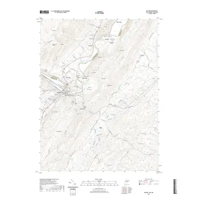
2016 Keyser
Mineral County, WV
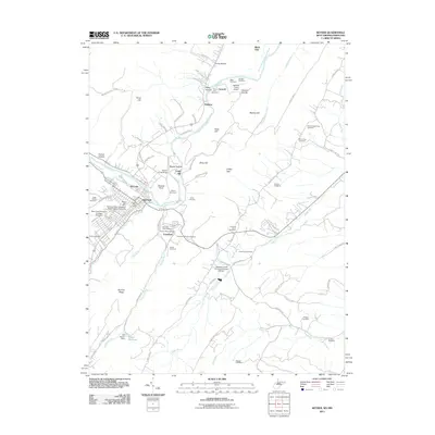
2019 Keyser
Mineral County, WV
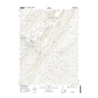
2023 Keyser
Mineral County, WV