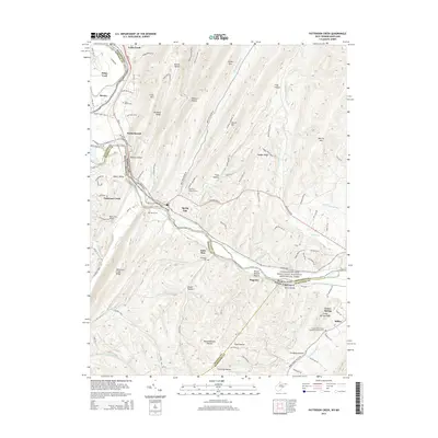
2014 Map of Patterson Creek
USGS Topo · Published 2014About this map
The North Branch Potomac River serves as a natural and political boundary in this 2014 survey, winding past the historical corridor of the Chesapeake and Ohio Canal National Historical Park. The landscape is defined by the sharp ridges and deep hollows of the Appalachian terrain, including Martin Mtn and Warrior Mtn, which frame the valley floor. Settlement is concentrated in small communities such as Patterson Creek, North Branch, and Green Spring, where the CSX railroad line follows the river's path, highlighting the enduring importance of this transportation artery.
Find a feature on this map
101 named features on this map. Tap any name to fly to it.
Don’t see what you’re looking for? This feature index may not catch every label — zoom into the map to look around manually.
Map Details
Editions of this 2014 Patterson Creek Map
This is the sole edition of this map. No revisions or reprints were ever made.
Other maps of this area

1891 · Romney
USGS Topo · 1:125,000

1898 · Frostburg
USGS Topo · 1:62,500

1899 · Flintstone
USGS Topo · 1:62,500

1900 · Flintstone
USGS Topo · 1:62,500

1901 · Frostburg
USGS Topo · 1:62,500

1908 · Frostburg
USGS Topo · 1:62,500

1920 · Keyser
USGS Topo · 1:62,500

1921 · Keyser
USGS Topo · 1:48,000

1921 · Hanging Rock
USGS Topo · 1:48,000

1922 · Keyser
USGS Topo · 1:62,500