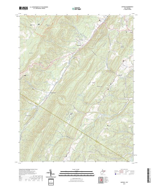
2023 Map of Patterson Creek
USGS Topo · Published 2023About this map
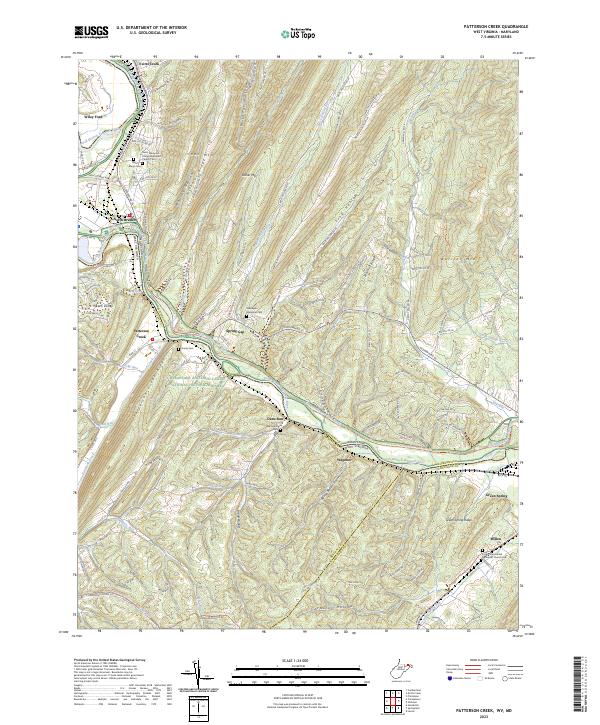
The North Branch Potomac River defines the state boundary between Maryland and West Virginia, carving a winding path through a landscape of prominent ridges like Irons Mtn and Warrior Mtn. This area is characterized by narrow hollows and high ground, including the distinctive Death Valley and Frog Hollow. Parallel to the river, the Chesapeake and Ohio Canal National Historical Park preserves a critical piece of 19th-century transportation history, now shadowed by modern CSX Transportation rail lines.
Find a feature on this map
57 named features on this map. Tap any name to fly to it.
Don’t see what you’re looking for? This feature index may not catch every label — zoom into the map to look around manually.
Map Details
Editions of this 2023 Patterson Creek Map
This is the sole edition of this map. No revisions or reprints were ever made.
Historical Maps of North Branch Through Time
6 maps found