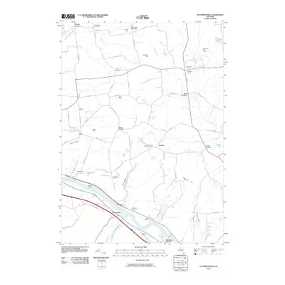
2010 Map of Pattersonville
USGS Topo · Published 2010About this map
The Mohawk River corridor anchors this landscape, where the historic Erie Canal runs parallel to the riverbanks through Pattersonville and Rotterdam Junction. The geography is defined by significant elevation changes, from the river valley floor to Glenville Hill and the distinctive Wolf Hollow. This area serves as a rich resource for genealogical research, documenting several family-named burial grounds such as Woestina Cemetery, Vedder Cemetery, and Van Eps Cemetery near the water's edge.
Find a feature on this map
86 named features on this map. Tap any name to fly to it.
Don’t see what you’re looking for? This feature index may not catch every label — zoom into the map to look around manually.
Map Details
Editions of this 2010 Pattersonville Map
This is the sole edition of this map. No revisions or reprints were ever made.
Other maps of this area

1893 · Schenectady
USGS Topo · 1:62,500

1895 · Schenectady
USGS Topo · 1:62,500

1895 · Amsterdam
USGS Topo · 1:62,500

1898 · Schenectady
USGS Topo · 1:62,500

1899 · Broadalbin
USGS Topo · 1:62,500

1902 · Broadalbin
USGS Topo · 1:62,500

1902 · Saratoga
USGS Topo · 1:62,500

1930 · Schenectady
USGS Topo · 1:62,500

1931 · Amsterdam
USGS Topo · 1:62,500

1935 · Middle Grove
USGS Topo · 1:24,000