
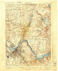
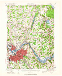
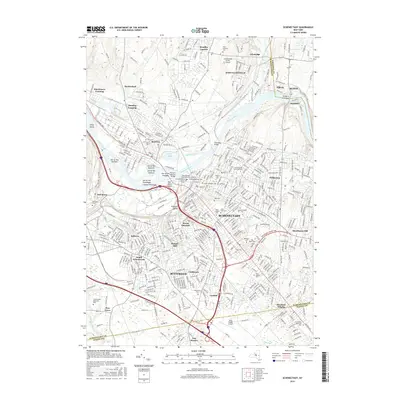
1930 Map of Schenectady
USGS Topo · Published 1930About this map
Schenectady and its surrounding industrial landscape are defined by a complex web of waterways and rail lines just as automotive travel began to reshape the region. The Mohawk River serves as the central artery, shadowed by the visible path of the Erie Canal (Abandoned), which still marked the terrain near Rexford and Aqueduct. While the city shows a dense grid of development, the outlying areas in Saratoga Co and Schenectady Co remain largely agrarian, dotted with numbered schoolhouses and small settlements like Vischer Ferry and Burnt Hills. The map captures a transitional era for transit, where the Schenectady Railway and the Delaware and Hudson railroad operated alongside a burgeoning network of roads and the early Airport near Glenridge. Rural life is evident in the numerous small corners such as Harmony Corners and Flagler Corners, points that would later be overtaken by suburban growth.
Find a feature on this map
75 named features on this map. Tap any name to fly to it.
Don’t see what you’re looking for? This feature index may not catch every label — zoom into the map to look around manually.
Map Details
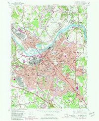
Editions of this 1930 Schenectady Map
5 editions found
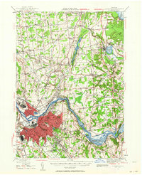
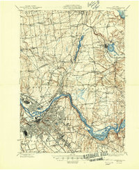
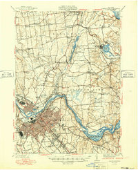
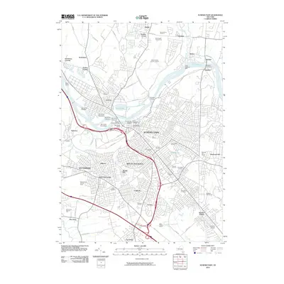
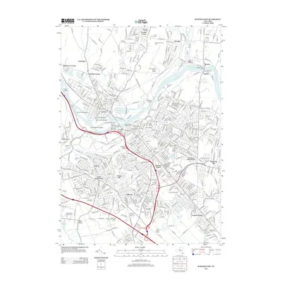
Historical Maps of Colonie Through Time
14 maps found

1893 Schenectady
Schenectady County, NY

1895 Schenectady
Schenectady County, NY
1898 Schenectady
Schenectady County, NY
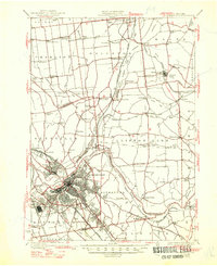
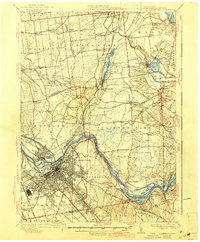
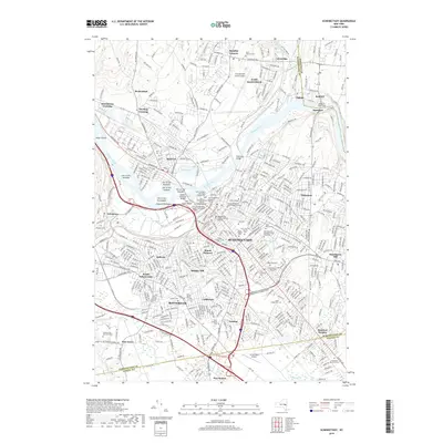
1930 Schenectady
Schenectady County, NY
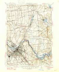
1947 Schenectady
Schenectady County, NY
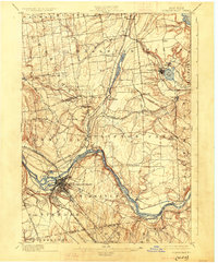
1948 Schenectady
Schenectady County, NY
1949 Schenectady
Schenectady County, NY
1954 Schenectady
Schenectady County, NY
1954 Schenectady
Schenectady County, NY
2010 Schenectady
Schenectady County, NY
2013 Schenectady
Schenectady County, NY
2016 Schenectady
Schenectady County, NY
2019 Schenectady
Schenectady County, NY

2023 Schenectady
Schenectady County, NY