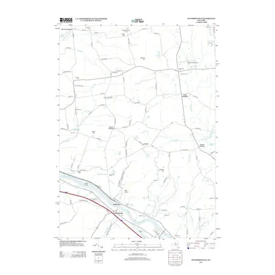
2013 Map of Pattersonville
USGS Topo · Published 2013About this map
The Mohawk River corridor defines the southern landscape of this 2013 survey, where the river valley supports the primary transportation routes and the riverside settlements of Pattersonville and Hoffmans. This area, situated between the river and the rising heights of Glenville Hill and Patton Hill, retains a mix of agricultural heritage and modern utility. Named agricultural sites like Nightingales Maple Farm and Balnakill Farms suggest a persistent rural character, while the presence of the Westwind Farm Airport and Snow Field Airport indicates the region's adaptation to private aviation.
Find a feature on this map
105 named features on this map. Tap any name to fly to it.
Don’t see what you’re looking for? This feature index may not catch every label — zoom into the map to look around manually.
Map Details
Editions of this 2013 Pattersonville Map
This is the sole edition of this map. No revisions or reprints were ever made.
Other maps of this area

1893 · Schenectady
USGS Topo · 1:62,500

1895 · Schenectady
USGS Topo · 1:62,500

1895 · Amsterdam
USGS Topo · 1:62,500

1898 · Schenectady
USGS Topo · 1:62,500

1899 · Broadalbin
USGS Topo · 1:62,500

1902 · Broadalbin
USGS Topo · 1:62,500

1902 · Saratoga
USGS Topo · 1:62,500

1930 · Schenectady
USGS Topo · 1:62,500

1931 · Amsterdam
USGS Topo · 1:62,500

1935 · Middle Grove
USGS Topo · 1:24,000