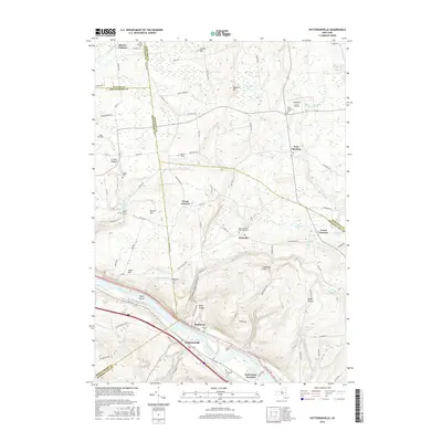
2016 Map of Pattersonville
USGS Topo · Published 2016About this map
The Mohawk River carves a deep valley through this landscape, serving as the primary corridor for regional transit and settlement. Along its banks, the communities of Pattersonville and Rotterdam Junction sit opposite Hoffmans, connected by the historical pathways that follow the river's course. The surrounding highlands are defined by significant terrain features like Glenville Hill and the dramatic incision of Wolf Hollow, while the uplands are dotted with small agricultural corners such as Green Corners and Lower Corners.
Find a feature on this map
95 named features on this map. Tap any name to fly to it.
Don’t see what you’re looking for? This feature index may not catch every label — zoom into the map to look around manually.
Map Details
Editions of this 2016 Pattersonville Map
This is the sole edition of this map. No revisions or reprints were ever made.
Other maps of this area

1893 · Schenectady
USGS Topo · 1:62,500

1895 · Schenectady
USGS Topo · 1:62,500

1895 · Amsterdam
USGS Topo · 1:62,500

1898 · Schenectady
USGS Topo · 1:62,500

1899 · Broadalbin
USGS Topo · 1:62,500

1902 · Broadalbin
USGS Topo · 1:62,500

1902 · Saratoga
USGS Topo · 1:62,500

1930 · Schenectady
USGS Topo · 1:62,500

1931 · Amsterdam
USGS Topo · 1:62,500

1935 · Middle Grove
USGS Topo · 1:24,000