
Loading...
Loading map...2023 Map of Pattersonville
USGS Topo · Published 2023About this map
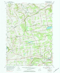
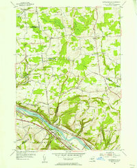
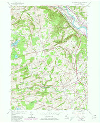
The Mohawk River serves as the central corridor for this 2023 landscape, where the CSX railroad and Mohawk Tpke parallel the water through Pattersonville and Rotterdam Junction. This map captures a intersection of four counties—Schenectady, Montgomery, Saratoga, and Fulton—highlighting the transition from the river valley to the upland terrain of Glenville Hill and Jersey Hill.
Find a feature on this map
107 named features on this map. Tap any name to fly to it.
Don’t see what you’re looking for? This feature index may not catch every label — zoom into the map to look around manually.
Map Details
Date Portrayed2023
Date Published2023
PublisherU.S. Geological Survey
Map TypeTopographic
Scale1:24000
Physical Dimensions24 x 29 inches
Editions of this 2023 Pattersonville Map
This is the sole edition of this map. No revisions or reprints were ever made.
Historical Maps of Beyers Corners Through Time
6 maps found


Featured Locations
Source Details
SourceU.S. Geological Survey
CopyrightPublic Domain