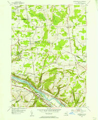
1954 Map of Pattersonville
USGS Topo · Published 1956About this map
The Mohawk River valley dominates this mid-century landscape at the intersection of Montgomery, Schenectady, and Saratoga counties. This vital corridor is crowded with the infrastructure of New York's transport history, showing the New York Central Railroad tracks running parallel to both the active Erie Canal and sections of the Erie Canal (Abandoned). The placement of small family and community burial grounds, such as Van Eps Cem and Vedder Cem, alongside the Weatherwax Cem, points to the long-standing agrarian settlement of the hills overlooking the river.
Find a feature on this map
79 named features on this map. Tap any name to fly to it.
Don’t see what you’re looking for? This feature index may not catch every label — zoom into the map to look around manually.
Map Details
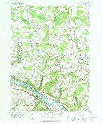
Editions of this 1954 Pattersonville Map
2 editions found
Other maps of this area

1893 · Schenectady
USGS Topo · 1:62,500

1895 · Schenectady
USGS Topo · 1:62,500

1895 · Amsterdam
USGS Topo · 1:62,500

1898 · Schenectady
USGS Topo · 1:62,500

1899 · Broadalbin
USGS Topo · 1:62,500

1902 · Broadalbin
USGS Topo · 1:62,500

1902 · Saratoga
USGS Topo · 1:62,500

1930 · Schenectady
USGS Topo · 1:62,500

1931 · Amsterdam
USGS Topo · 1:62,500

1935 · Middle Grove
USGS Topo · 1:24,000