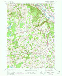
1954 Map of Rotterdam Junction
USGS Topo · Published 1980About this map
The Mohawk River corridor and its industrial transport legacy anchor this mid-century look at eastern New York. While the New York State Thruway cuts a modern path through the landscape, the historical footprint of the Erie Canal (Abandoned) remains visible alongside the Conrail and Boston and Maine Railroad lines. This intersection of commerce is centered on Rotterdam Junction, where the valley narrows between the hills of Glenville and Rotterdam.
Find a feature on this map
64 named features on this map. Tap any name to fly to it.
Don’t see what you’re looking for? This feature index may not catch every label — zoom into the map to look around manually.
Map Details
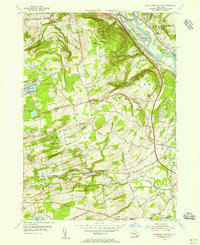
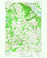
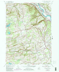
Editions of this 1954 Rotterdam Junction Map
4 editions found
Other maps of this area

1893 · Schenectady
USGS Topo · 1:62,500

1893 · Albany
USGS Topo · 1:62,500

1895 · Albany
USGS Topo · 1:62,500

1895 · Schenectady
USGS Topo · 1:62,500

1895 · Amsterdam
USGS Topo · 1:62,500

1898 · Schenectady
USGS Topo · 1:62,500

1898 · Albany
USGS Topo · 1:62,500

1900 · Berne
USGS Topo · 1:62,500

1903 · Berne
USGS Topo · 1:62,500

1927 · Albany
USGS Topo · 1:62,500