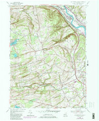
1954 Map of Rotterdam Junction
USGS Topo · Published 1980About this map
The Mohawk River and the historic route of the Erie Canal define the northern corridor of this landscape, where the settlement of Rotterdam Junction serves as a critical rail nexus. Heavily influenced by the presence of the Conrail, Boston and Maine, and Delaware and Hudson lines, the area reflects a mid-century transportation hub transitioning into the late twentieth century. To the south, the terrain rises into the hills of Rotterdam and Princetown, marked by agricultural patterns and scattered family landmarks like the Ferguson Cem. Numerous water bodies, including Mariaville Lake, Featherstonhaugh Lake, and Duane Lake, dot the western uplands, while the Normans Kill carves through the southern valley. Cultural markers like the Princetown Ch and Gay Valley Air Park illustrate the blend of rural tradition and modern aviation that shaped the region by the 1950s and 1980s.
Find a feature on this map
47 named features on this map. Tap any name to fly to it.
Don’t see what you’re looking for? This feature index may not catch every label — zoom into the map to look around manually.
Map Details
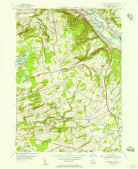
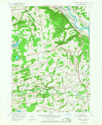
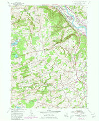
Editions of this 1954 Rotterdam Junction Map
4 editions found
Other maps of this area

1893 · Schenectady
USGS Topo · 1:62,500

1893 · Albany
USGS Topo · 1:62,500

1895 · Albany
USGS Topo · 1:62,500

1895 · Schenectady
USGS Topo · 1:62,500

1895 · Amsterdam
USGS Topo · 1:62,500

1898 · Schenectady
USGS Topo · 1:62,500

1898 · Albany
USGS Topo · 1:62,500

1900 · Berne
USGS Topo · 1:62,500

1903 · Berne
USGS Topo · 1:62,500

1927 · Albany
USGS Topo · 1:62,500