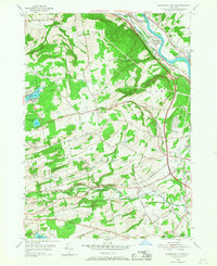
1954 Map of Rotterdam Junction
USGS Topo · Published 1968About this map
The Mohawk River and New York State Barge Canal dominate the northern landscape of this mid-century survey, defining the industrial and transportation corridor through Rotterdam Junction. This area serves as a critical junction where the New York Central and Hudson River RR and the Delaware and Hudson RR converge near several local quarries. To the south, the terrain transitions into the upland settlements of Princetown and Mariaville, where the landscape is marked by smaller water bodies like Mariaville Lake and Duane Lake. The map provides significant genealogical detail through several family and local burial sites, including Van Slyck Cem and Ferguson Cem, and institutional landmarks such as the Princetown Ch and Woestina Sch. This 1954 data records the rural character of the region just as the modern interstate era arrived, shown by the early path of the New York State Thruway.
Find a feature on this map
40 named features on this map. Tap any name to fly to it.
Don’t see what you’re looking for? This feature index may not catch every label — zoom into the map to look around manually.
Map Details
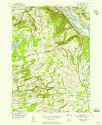
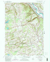
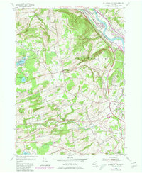
Editions of this 1954 Rotterdam Junction Map
4 editions found
Other maps of this area

1893 · Schenectady
USGS Topo · 1:62,500

1893 · Albany
USGS Topo · 1:62,500

1895 · Albany
USGS Topo · 1:62,500

1895 · Schenectady
USGS Topo · 1:62,500

1895 · Amsterdam
USGS Topo · 1:62,500

1898 · Schenectady
USGS Topo · 1:62,500

1898 · Albany
USGS Topo · 1:62,500

1900 · Berne
USGS Topo · 1:62,500

1903 · Berne
USGS Topo · 1:62,500

1927 · Albany
USGS Topo · 1:62,500