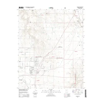
2014 Map of Paulden
USGS Topo · Published 2014About this map
Paulden serves as the primary residential hub in this Yavapai County landscape, where the Big Chino Valley meets the high desert terrain of the Prescott National Forest. The map documents a rural network of named water tanks essential for ranching and wildlife, such as Peavine Tank and Railroad Tank, interspersed with geological features like Big Black Mesa and Rock Butte. To the north, the small settlements of Drake and Puntenney sit near the rugged drop of Hell Canyon.
Find a feature on this map
81 named features on this map. Tap any name to fly to it.
Don’t see what you’re looking for? This feature index may not catch every label — zoom into the map to look around manually.
Map Details
Editions of this 2014 Paulden Map
This is the sole edition of this map. No revisions or reprints were ever made.
Other maps of this area

1886 · Chino
USGS Topo · 1:250,000

1887 · Prescott
USGS Topo · 1:250,000

1891 · Chino
USGS Topo · 1:250,000

1892 · Prescott
USGS Topo · 1:250,000

1905 · Jerome
USGS Topo · 1:125,000

1922 · Williams
USGS Topo · 1:125,000

1947 · Ash Fork
USGS Topo · 1:62,500

1947 · Simmons
USGS Topo · 1:62,500

1947 · Picacho Butte
USGS Topo · 1:62,500

1947 · Paulden
USGS Topo · 1:62,500