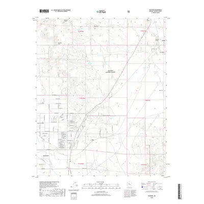
2018 Map of Paulden
USGS Topo · Published 2018About this map
The Verde River headwaters and the transition from high desert valleys to mesa country define this portion of Yavapai County. The community of Paulden and the northern edge of Big Chino Valley serve as focal points for residential settlement, characterized by a dense grid of local roads like La Jolla Ln and Bayberry Dr. To the north, the terrain becomes more dramatic as the Prescott National Forest encompasses Big Black Mesa and the deep incision of Hell Canyon. Historically significant transport corridors are evident where the BNSF Railway tracks bypass the volcanic landmark of Rock Butte. The presence of the Puntenney Cem near the rail junction at Drake offers a specific point of interest for genealogists tracing early ranching and railroad families in this high-altitude landscape.
Find a feature on this map
77 named features on this map. Tap any name to fly to it.
Don’t see what you’re looking for? This feature index may not catch every label — zoom into the map to look around manually.
Map Details
Editions of this 2018 Paulden Map
This is the sole edition of this map. No revisions or reprints were ever made.
Other maps of this area

1886 · Chino
USGS Topo · 1:250,000

1887 · Prescott
USGS Topo · 1:250,000

1891 · Chino
USGS Topo · 1:250,000

1892 · Prescott
USGS Topo · 1:250,000

1905 · Jerome
USGS Topo · 1:125,000

1922 · Williams
USGS Topo · 1:125,000

1947 · Ash Fork
USGS Topo · 1:62,500

1947 · Simmons
USGS Topo · 1:62,500

1947 · Picacho Butte
USGS Topo · 1:62,500

1947 · Paulden
USGS Topo · 1:62,500