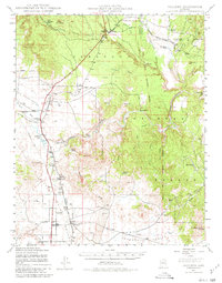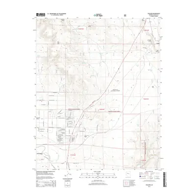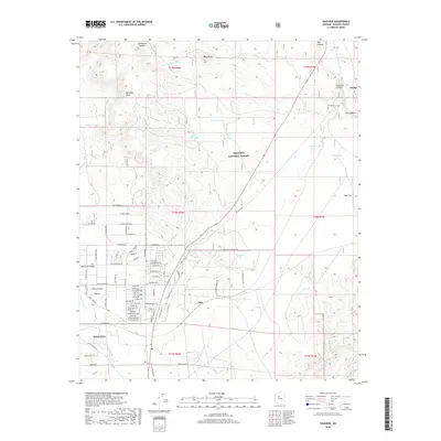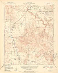
1950 Map of Paulden
USGS Topo · Published 1950About this map
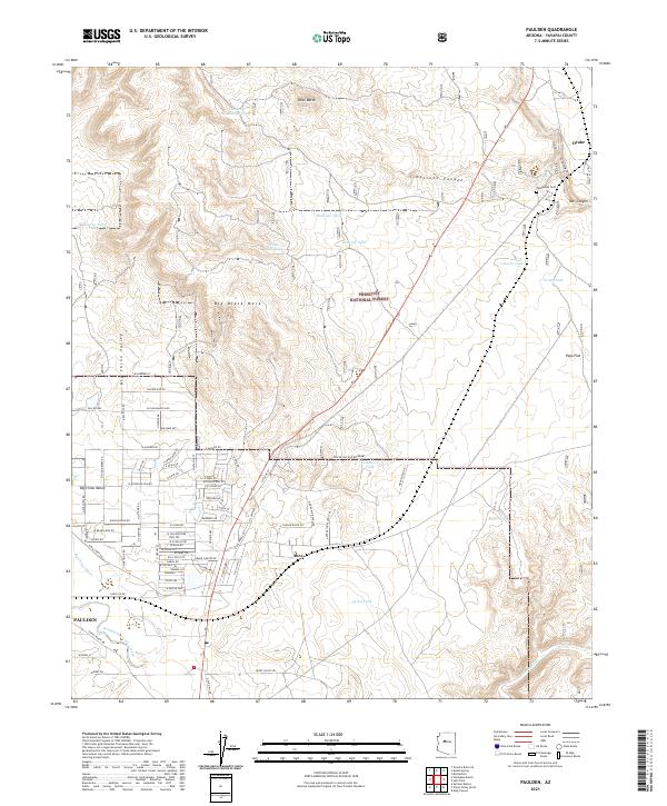
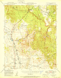
Prescott National Forest dominates the eastern half of this terrain, where the Verde River and Hell Canyon carve deep drainage patterns through the plateau. In the mid-century, this landscape was defined by the intersection of livestock ranching and the Atchison Topeka and Santa Fe railroad, which skirts the western edge of the canyons. The presence of the Cedar Glade Ranger Sta and numerous water developments like Sullivan Lake and Del Rio Water Tank highlight the critical management of water in the Chino Valley. Settlement remains sparse, clustered around rail sidings and ranching hubs such as Drake, Paulden, and the Stewart Ranch Hdqtrs. The survey also documents the early industrial footprint of the region, including the United States Mine and an Oil Well located northwest of Paulden.
Find a feature on this map
50 named features on this map. Tap any name to fly to it.
Don’t see what you’re looking for? This feature index may not catch every label — zoom into the map to look around manually.
Map Details
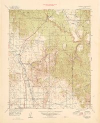
Editions of this 1950 Paulden Map
2 editions found
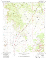
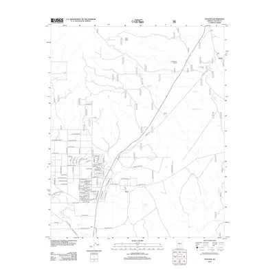
Historical Maps of Paulden Through Time
8 maps found