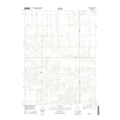
2014 Map of Pauline
USGS Topo · Published 2014About this map
Pauline and Glenvil anchor this agricultural section of the Nebraska plains along the border of Adams and Clay counties. The landscape is defined by the winding course of the Little Blue River, which cuts diagonally through the southern half of the map, fed by tributaries including Pawnee Creek, Ash Creek, and Oak Creek. This 2014 survey illustrates the intersection of rural river drainage and a precise section-line road grid, where names like S Showboat Blvd and E Saddlehorn Rd delineate the open country. The presence of the NE 18E Spur and Ne-74 indicates the primary transit corridors connecting these small prairie settlements. For researchers, the map provides a clear view of the rural homestead distribution and the watercourses that have historically shaped land use in this part of the state.
Find a feature on this map
37 named features on this map. Tap any name to fly to it.
Don’t see what you’re looking for? This feature index may not catch every label — zoom into the map to look around manually.
Map Details
Editions of this 2014 Pauline Map
This is the sole edition of this map. No revisions or reprints were ever made.
Other maps of this area

1898 · Superior
USGS Topo · 1:125,000

1898 · Grand Island
USGS Topo · 1:125,000

1955 · Grand Island
USGS Topo · 1:250,000

1957 · Grand Island
USGS Topo · 1:250,000

1958 · Grand Island
USGS Topo · 1:250,000

1960 · Deweese
USGS Topo · 1:24,000

1969 · Hastings East
USGS Topo · 1:24,000

1969 · Fairfield NW
USGS Topo · 1:24,000

1969 · Lawrence
USGS Topo · 1:24,000

1969 · Blue Hill
USGS Topo · 1:24,000