
1969 Map of Fairfield NW
USGS Topo · Published 1971About this map
U S Naval Ammunition Depot (Abandoned) occupies a significant portion of the northern landscape, its former military footprint contrasting with the surrounding agricultural sections of Glenville and Lone Tree. To the south, the Little Blue River carves a meandering path through Spring Ranch, where the Gaging Station monitors the local hydrology. This 1969 survey reveals the skeletal remains of past transport and industry, including an Old Railroad Grade and a small Gravel Pit near the river bluffs.
Find a feature on this map
20 named features on this map. Tap any name to fly to it.
Don’t see what you’re looking for? This feature index may not catch every label — zoom into the map to look around manually.
Map Details
Editions of this 1969 Fairfield NW Map
This is the sole edition of this map. No revisions or reprints were ever made.
Other maps of this area

1898 · Superior
USGS Topo · 1:125,000

1898 · Grand Island
USGS Topo · 1:125,000

1955 · Grand Island
USGS Topo · 1:250,000

1957 · Grand Island
USGS Topo · 1:250,000

1958 · Grand Island
USGS Topo · 1:250,000
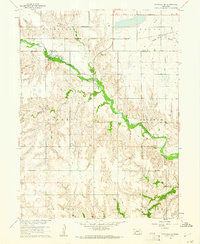
1960 · Fairfield SE
USGS Topo · 1:24,000

1960 · Deweese
USGS Topo · 1:24,000

1969 · Hastings East
USGS Topo · 1:24,000

1969 · Lawrence
USGS Topo · 1:24,000
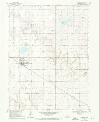
1969 · Fairfield
USGS Topo · 1:24,000