
1969 Map of Hastings East
USGS Topo · Published 1971About this map
Industrial and military footprints define the prairie landscape east of Hastings in the late 1960s. The most striking feature is the massive U S Naval Ammunition Depot (Abandoned), which occupies a significant portion of the central and eastern quadrangle. This installation is crisscrossed by the U. S. Government Railroad, illustrating the logistical scale of mid-century defense operations in the rural interior. In the south, the village of Glenville anchors the agricultural landscape near Theesen Lagoon, while the Burlington Northern and Union Pacific railroads intersect the region's productive plains.
Find a feature on this map
40 named features on this map. Tap any name to fly to it.
Don’t see what you’re looking for? This feature index may not catch every label — zoom into the map to look around manually.
Map Details
Editions of this 1969 Hastings East Map
This is the sole edition of this map. No revisions or reprints were ever made.
Other maps of this area

1898 · Superior
USGS Topo · 1:125,000

1898 · Grand Island
USGS Topo · 1:125,000

1955 · Grand Island
USGS Topo · 1:250,000

1957 · Grand Island
USGS Topo · 1:250,000

1958 · Grand Island
USGS Topo · 1:250,000

1969 · Fairfield NW
USGS Topo · 1:24,000
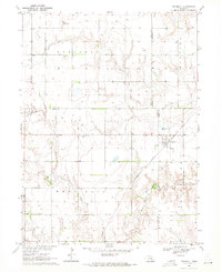
1969 · Trumbull
USGS Topo · 1:24,000
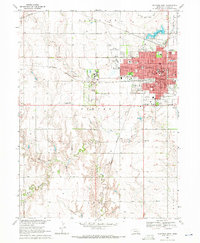
1969 · Hastings West
USGS Topo · 1:24,000
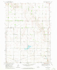
1969 · Hastings NW
USGS Topo · 1:24,000
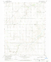
1969 · Harvard NW
USGS Topo · 1:24,000