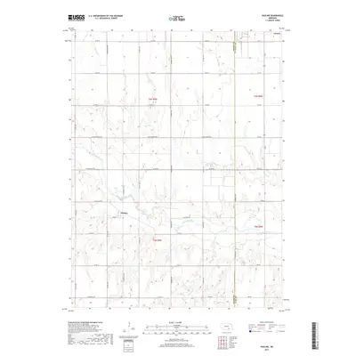
2017 Map of Pauline
USGS Topo · Published 2017About this map
Pauline sits at the heart of this rural landscape, where the rectangular grid of local roads meets the wandering course of the Little Blue River. The terrain is defined by the drainage basins of Pawnee Cr, Crooked Cr, and Oak Cr, which carve subtle valleys through the agricultural sections of t5n r9w and t6n r8w. The intersection of Cherry St and E Pauline Blvd serves as the focal point for this small community.
Find a feature on this map
41 named features on this map. Tap any name to fly to it.
Don’t see what you’re looking for? This feature index may not catch every label — zoom into the map to look around manually.
Map Details
Editions of this 2017 Pauline Map
This is the sole edition of this map. No revisions or reprints were ever made.
Other maps of this area

1898 · Superior
USGS Topo · 1:125,000

1898 · Grand Island
USGS Topo · 1:125,000

1955 · Grand Island
USGS Topo · 1:250,000

1957 · Grand Island
USGS Topo · 1:250,000

1958 · Grand Island
USGS Topo · 1:250,000

1960 · Deweese
USGS Topo · 1:24,000

1969 · Hastings East
USGS Topo · 1:24,000

1969 · Fairfield NW
USGS Topo · 1:24,000

1969 · Lawrence
USGS Topo · 1:24,000

1969 · Blue Hill
USGS Topo · 1:24,000