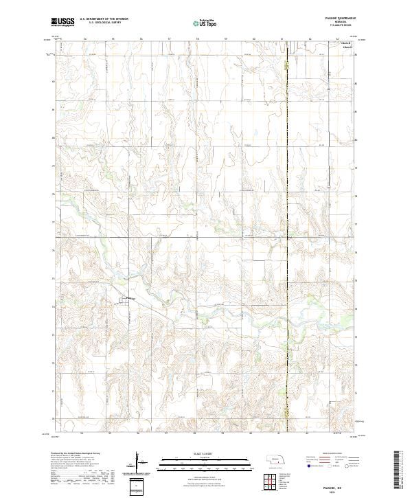
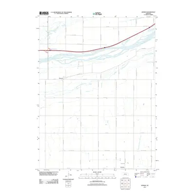
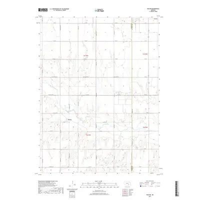
2021 Map of Pauline
USGS Topo · Published 2021About this map
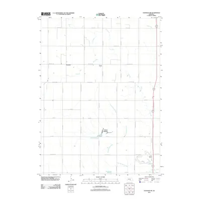
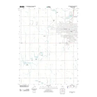
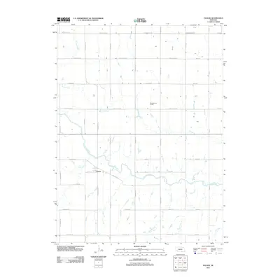
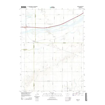
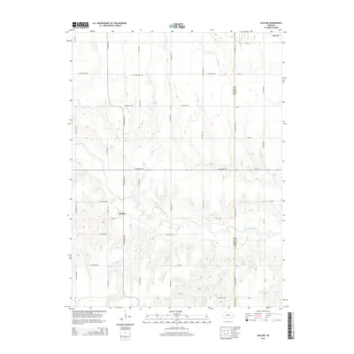
The community of Pauline and the surrounding agricultural lands of the Adams and Clay County line are defined by the meandering course of the Little Blue River. In this corner of Nebraska, the landscape is shaped by a dense network of watercourses, including Pawnee Cr, Ash Cr, and Crooked Cr, which cut through the section lines of the Public Land Survey System. The map documents a rural infrastructure where traditional country roads intersect with routes carrying names of regional significance, such as E Pony Express Rd and E Monument Rd. To the northeast, the settlement of Glenvil sits near the map edge, connected to the southern townships by a grid of numbered and named arteries like S Showboat Blvd and S Pawnee Ave. This layout reflects a deeply established farming economy where every section is accessible by road, supporting the small residential clusters at Pauline and Glenvil.
Find a feature on this map
42 named features on this map. Tap any name to fly to it.
Don’t see what you’re looking for? This feature index may not catch every label — zoom into the map to look around manually.
Map Details
Editions of this 2021 Pauline Map
This is the sole edition of this map. No revisions or reprints were ever made.
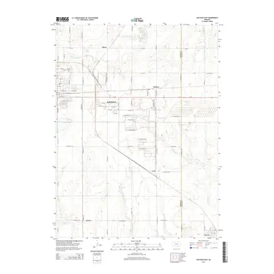
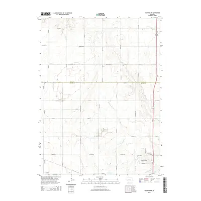
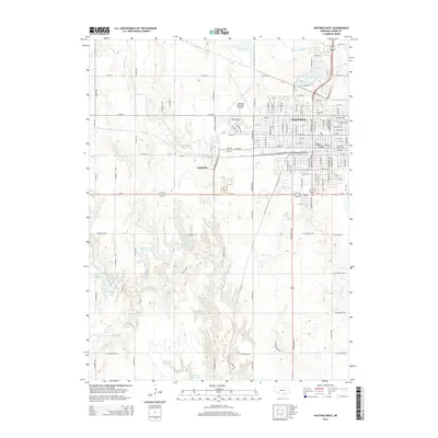
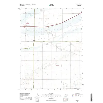
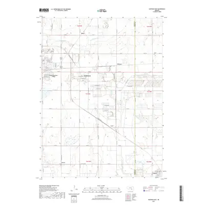
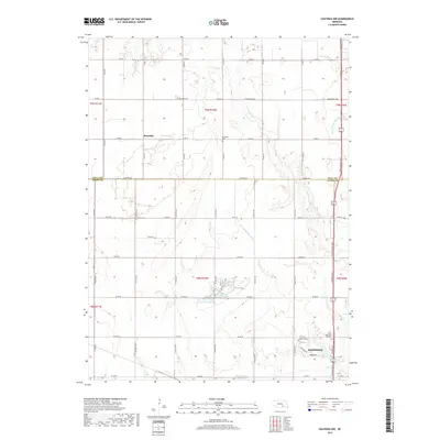
Historical Maps of Glenvil Through Time
26 maps found
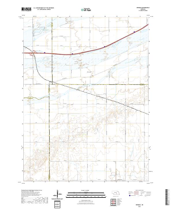
1962 Denman
Adams County, NE
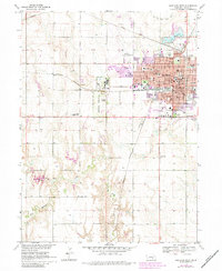
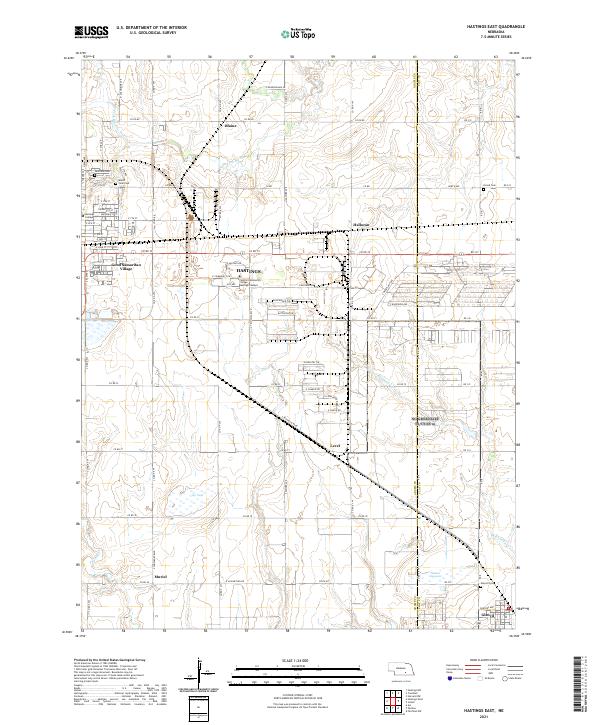
1969 Hastings East
Adams County, NE
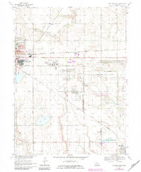
1969 Hastings NW
Adams County, NE
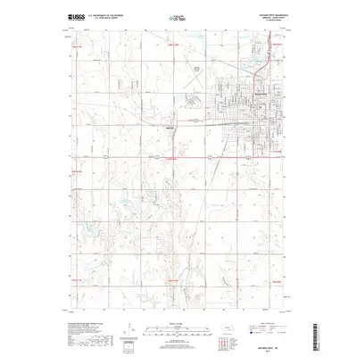
1969 Hastings West
Adams County, NE
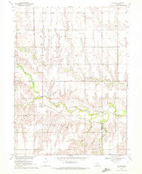
1969 Pauline
Adams County, NE
1983 Hastings East
Adams County, NE
2011 Denman
Adams County, NE
2011 Hastings East
Adams County, NE
2011 Hastings NW
Adams County, NE
2011 Hastings West
Adams County, NE
2011 Pauline
Adams County, NE
2014 Denman
Adams County, NE
2014 Hastings East
Adams County, NE
2014 Hastings NW
Adams County, NE
2014 Hastings West
Adams County, NE
2014 Pauline
Adams County, NE
2017 Denman
Adams County, NE
2017 Hastings East
Adams County, NE
2017 Hastings NW
Adams County, NE
2017 Hastings West
Adams County, NE
2017 Pauline
Adams County, NE
2021 Denman
Adams County, NE
2021 Hastings East
Adams County, NE
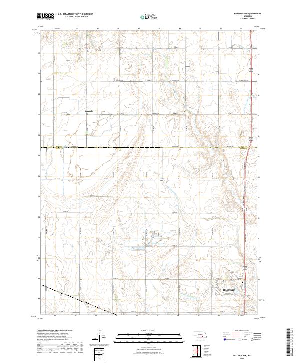
2021 Hastings NW
Adams County, NE
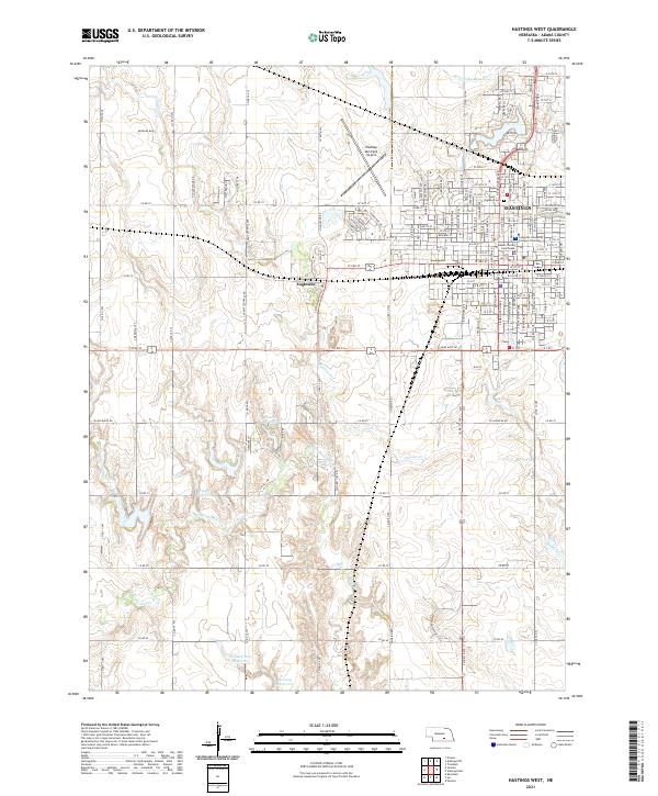
2021 Hastings West
Adams County, NE
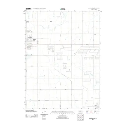
2021 Pauline
Adams County, NE