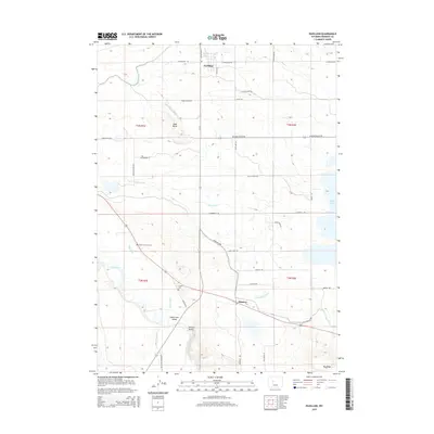
2015 Map of Pavillion
USGS Topo · Published 2015About this map
The agricultural landscape of central Fremont County unfolds around the towns of Pavillion and Kinnear, where a complex irrigation network of ditches and drains supports high-plains farming. Notable features of the local water management system include the Wyoming Canal, Aragon Ditch, and Sand Butte Lateral, which distribute water across the valley toward Ocean Lake. The map serves as a valuable resource for local genealogy, pinpointing the Aragon Cem and the specific Grave of N B Kinnear south of the Kinnear Spur. Topographical landmarks like Sand Butte and the southern Big Ridge define the horizon, while the Wind River flows through the southwestern corner. The layout of rural roads, such as Wild Licorice Rd and Rabbit Brush Rd, reflects the systematic grid of the Public Land Survey System that governs this ranching and farming territory.
Find a feature on this map
44 named features on this map. Tap any name to fly to it.
Don’t see what you’re looking for? This feature index may not catch every label — zoom into the map to look around manually.
Map Details
Editions of this 2015 Pavillion Map
This is the sole edition of this map. No revisions or reprints were ever made.
Other maps of this area

1950 · Pavillion
USGS Topo · 1:24,000

1950 · Pavillion Butte
USGS Topo · 1:24,000

1950 · Harris Bridge
USGS Topo · 1:24,000

1950 · Ocean Lake
USGS Topo · 1:24,000

1951 · Mule Butte
USGS Topo · 1:24,000

1951 · Pavillion SE
USGS Topo · 1:24,000

1951 · Morton
USGS Topo · 1:24,000

1951 · Lookout Butte
USGS Topo · 1:24,000

1951 · Ethete
USGS Topo · 1:24,000

1955 · Thermopolis
USGS Topo · 1:250,000