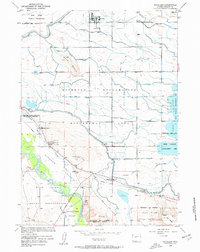
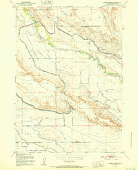
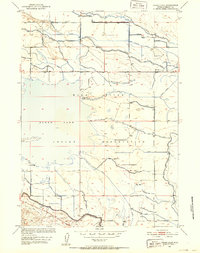
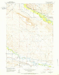
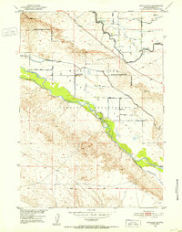
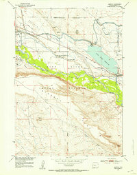
1958 Map of Pavillion
USGS Topo · Published 1959About this map
The Wind River Indian Reservation landscape around Pavillion is defined by the massive irrigation infrastructure of the Riverton Reclamation Withdrawal Area. During the mid-twentieth century, the Wyoming Canal and a network of laterals like the Sand Butte Lateral transformed these arid flats into a productive agricultural district. This survey captures a specific genealogical highlight: the Grave of N B Kinnear, identified as a pioneer of the valley, located near St Edwards Church. The map details the transition from tribal lands to settled farming communities, visible in the cluster of rural institutions such as the Morton School and Sunnyside Church. Along the eastern edge, the Ocean Lake State Wildlife Management Area provides a contrast to the geometric patterns of the reclamation ditches, while the Wind River winds through the southern reaches near Johnstown.
Find a feature on this map
34 named features on this map. Tap any name to fly to it.
Don’t see what you’re looking for? This feature index may not catch every label — zoom into the map to look around manually.
Map Details
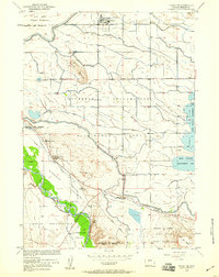
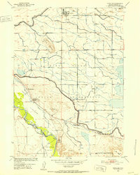
Editions of this 1958 Pavillion Map
2 editions found
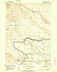
Other maps of this area
1950 · Pavillion
USGS Topo · 1:24,000
1950 · Pavillion Butte
USGS Topo · 1:24,000
1950 · Harris Bridge
USGS Topo · 1:24,000
1950 · Ocean Lake
USGS Topo · 1:24,000
1951 · Mule Butte
USGS Topo · 1:24,000
1951 · Pavillion SE
USGS Topo · 1:24,000
1951 · Morton
USGS Topo · 1:24,000
1951 · Lookout Butte
USGS Topo · 1:24,000
1951 · Ethete
USGS Topo · 1:24,000

1955 · Thermopolis
USGS Topo · 1:250,000