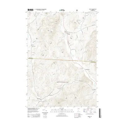
2015 Map of Pawlet
USGS Topo · Published 2015About this map
The Mettawee River valley anchors this 2015 study of the Vermont-New York borderlands, where the town of Pawlet serves as a primary hub. The landscape is defined by its transition from fertile river bottoms to the significant elevation of the Green Mountain National Forest to the south. Numerous small burial grounds, including the Old Cem, Mettawee Valley Cem, and the Graves Family Cem, offer valuable geographic touchpoints for genealogists researching the historic families of the Taconic region.
Find a feature on this map
80 named features on this map. Tap any name to fly to it.
Don’t see what you’re looking for? This feature index may not catch every label — zoom into the map to look around manually.
Map Details
Editions of this 2015 Pawlet Map
This is the sole edition of this map. No revisions or reprints were ever made.
Other maps of this area

1893 · Fort Ann
USGS Topo · 1:62,500

1894 · Pawlet
USGS Topo · 1:62,500

1894 · Equinox
USGS Topo · 1:62,500

1895 · Cambridge
USGS Topo · 1:62,500

1895 · Fort Ann
USGS Topo · 1:62,500

1896 · Equinox
USGS Topo · 1:62,500

1897 · Pawlet
USGS Topo · 1:62,500

1898 · Cambridge
USGS Topo · 1:62,500

1898 · Fort Ann
USGS Topo · 1:62,500

1900 · Equinox
USGS Topo · 1:62,500