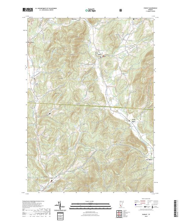
2024 Map of Pawlet
USGS Topo · Published 2024About this map
The Mettawee River valley anchors this Vermont landscape, where the settlements of Pawlet, North Rupert, and West Pawlet follow the winding water and the historic transportation corridors. The terrain is defined by prominent peaks including Scott Mtn, Spruce Top, and the uniquely named The Pattern, transitioning into the protected slopes of the Green Mountain National Forest to the south.
Find a feature on this map
93 named features on this map. Tap any name to fly to it.
Don’t see what you’re looking for? This feature index may not catch every label — zoom into the map to look around manually.
Map Details
Editions of this 2024 Pawlet Map
This is the sole edition of this map. No revisions or reprints were ever made.
Other maps of this area

1893 · Fort Ann
USGS Topo · 1:62,500

1894 · Pawlet
USGS Topo · 1:62,500

1894 · Equinox
USGS Topo · 1:62,500

1895 · Cambridge
USGS Topo · 1:62,500

1895 · Fort Ann
USGS Topo · 1:62,500

1896 · Equinox
USGS Topo · 1:62,500

1897 · Pawlet
USGS Topo · 1:62,500

1898 · Cambridge
USGS Topo · 1:62,500

1898 · Fort Ann
USGS Topo · 1:62,500

1900 · Equinox
USGS Topo · 1:62,500