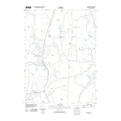
2010 Map of Pawling
USGS Topo · Published 2010About this map
Pawling and Patterson anchor this 2010 topographic study of the New York and Connecticut borderlands, where the Swamp River and East Branch Croton River navigate a landscape of high ridges and narrow valleys. This era shows a well-established road network including S Quaker Hill Rd and Hardscrabble Rd, connecting small historical hubs like Hurd Corners and Baker Corner. The region's genealogy and settlement history are well-preserved through numerous burial sites, such as the Old Baptist Burying Ground, Maple Avenue Cemetery, and Saint John's Cemetery.
Find a feature on this map
102 named features on this map. Tap any name to fly to it.
Don’t see what you’re looking for? This feature index may not catch every label — zoom into the map to look around manually.
Map Details
Editions of this 2010 Pawling Map
This is the sole edition of this map. No revisions or reprints were ever made.
Other maps of this area

1892 · Danbury
USGS Topo · 1:62,500

1892 · New Milford
USGS Topo · 1:62,500

1892 · Carmel
USGS Topo · 1:62,500

1893 · Carmel
USGS Topo · 1:62,500

1893 · New Milford
USGS Topo · 1:62,500

1893 · Clove
USGS Topo · 1:62,500

1894 · Clove
USGS Topo · 1:62,500

1894 · Carmel
USGS Topo · 1:62,500

1898 · Clove
USGS Topo · 1:62,500

1901 · Clove
USGS Topo · 1:62,500