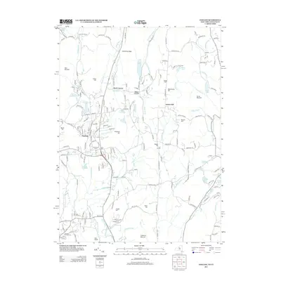
2013 Map of Pawling
USGS Topo · Published 2013About this map
The Swamp River and E Br Croton River valleys define this region of the New York-Connecticut border, where the village of Pawling serves as a central hub for the surrounding ridges. For genealogists and local historians, several burial sites are documented across the landscape, including Saint John's Cem, the Watts Cem, and the venerable Old Baptist Burying Ground near Pine Island. The map records several long-established crossroads and small settlements like Hurd Corners, Baker Corner, and Akins Corners, many of which maintain their distinct identity amidst the upland terrain of Hammersly Ridge and West Mountain. Numerous water bodies, from the Pawling Reservoir to the recreationally significant Green Mountain Lake and Quaker Lake, highlight the area's transition from an agricultural past to its contemporary character.
Find a feature on this map
193 named features on this map. Tap any name to fly to it.
Don’t see what you’re looking for? This feature index may not catch every label — zoom into the map to look around manually.
Map Details
Editions of this 2013 Pawling Map
This is the sole edition of this map. No revisions or reprints were ever made.
Other maps of this area

1892 · Danbury
USGS Topo · 1:62,500

1892 · New Milford
USGS Topo · 1:62,500

1892 · Carmel
USGS Topo · 1:62,500

1893 · Carmel
USGS Topo · 1:62,500

1893 · New Milford
USGS Topo · 1:62,500

1893 · Clove
USGS Topo · 1:62,500

1894 · Clove
USGS Topo · 1:62,500

1894 · Carmel
USGS Topo · 1:62,500

1898 · Clove
USGS Topo · 1:62,500

1901 · Clove
USGS Topo · 1:62,500