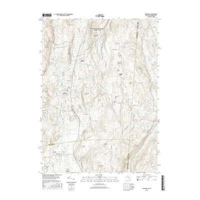
2016 Map of Pawling
USGS Topo · Published 2016About this map
The Great Swamp dominates the lowlands between Pawling and Patterson, creating a significant natural barrier that has shaped local settlement and road patterns for generations. To the east, the terrain rises sharply toward Quaker Hill and Hammersly Ridge, where the Appalachian National Scenic Trail winds through the high ground. This area is characterized by a high concentration of historical burial sites, ranging from the Akin Family Burial Ground to the Old Baptist Burying Ground, reflecting the deep-rooted colonial and Quaker lineage of the region. The map also captures the complex water network feeding the E Br Croton River, including Quaker Lake and Ray Lake, alongside many family-named hills like Corbin Hill and Conger Hill that speak to the long-standing agricultural and residential history of this borderland between New York and Connecticut.
Find a feature on this map
148 named features on this map. Tap any name to fly to it.
Don’t see what you’re looking for? This feature index may not catch every label — zoom into the map to look around manually.
Map Details
Editions of this 2016 Pawling Map
This is the sole edition of this map. No revisions or reprints were ever made.
Other maps of this area

1892 · Danbury
USGS Topo · 1:62,500

1892 · New Milford
USGS Topo · 1:62,500

1892 · Carmel
USGS Topo · 1:62,500

1893 · Carmel
USGS Topo · 1:62,500

1893 · New Milford
USGS Topo · 1:62,500

1893 · Clove
USGS Topo · 1:62,500

1894 · Clove
USGS Topo · 1:62,500

1894 · Carmel
USGS Topo · 1:62,500

1898 · Clove
USGS Topo · 1:62,500

1901 · Clove
USGS Topo · 1:62,500