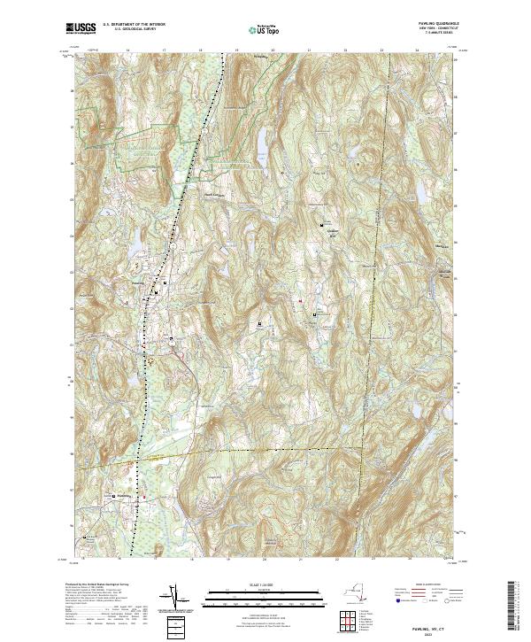
2023 Map of Pawling
USGS Topo · Published 2023About this map
The Appalachian National Scenic Trail winds through the hills of eastern New York, following the heights of West Mountain and Hammersly Ridge before descending into the valley. This landscape is defined by the expansive corridor of The Great Swamp and the Swamp River, a significant natural feature that separates the village of Pawling from the high ground of Quaker Hill. This area is rich with family history and early burial sites, ranging from the Akin Family Burial Ground to the Old Baptist Burying Ground near Patterson. To the east, the state line with Connecticut runs through high ridges like Turner Mtn, while the interior is dotted with numerous glacial lakes and ponds including Quaker Lake and Lake Mauweehoo. The settlement patterns here reflect a blend of historic valley villages and elevated residential pockets situated among the rolling terrain of Dutchess County.
Find a feature on this map
62 named features on this map. Tap any name to fly to it.
Don’t see what you’re looking for? This feature index may not catch every label — zoom into the map to look around manually.
Map Details
Editions of this 2023 Pawling Map
This is the sole edition of this map. No revisions or reprints were ever made.
Other maps of this area

1892 · Danbury
USGS Topo · 1:62,500

1892 · New Milford
USGS Topo · 1:62,500

1892 · Carmel
USGS Topo · 1:62,500

1893 · Carmel
USGS Topo · 1:62,500

1893 · New Milford
USGS Topo · 1:62,500

1893 · Clove
USGS Topo · 1:62,500

1894 · Clove
USGS Topo · 1:62,500

1894 · Carmel
USGS Topo · 1:62,500

1898 · Clove
USGS Topo · 1:62,500

1901 · Clove
USGS Topo · 1:62,500