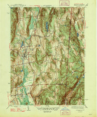
1947 Map of Pawling
USGS Topo · Published 1947About this map
The Great Swamp dominates the valley between Hammersly Ridge and West Mountain in this post-war survey of the New York-Connecticut border. The landscape reflects a well-established agricultural and community network, anchored by the village of Pawling and the northern reaches of Patterson. Small local centers like Hurd Corners and Akins Corners mark the intersections of the era's rural life, while educational landmarks like Stark Sch and Woodinville Sch are scattered across the hillsides.
Find a feature on this map
53 named features on this map. Tap any name to fly to it.
Don’t see what you’re looking for? This feature index may not catch every label — zoom into the map to look around manually.
Map Details
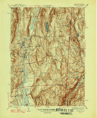
Editions of this 1947 Pawling Map
2 editions found
Other maps of this area

1892 · Danbury
USGS Topo · 1:62,500

1892 · New Milford
USGS Topo · 1:62,500

1892 · Carmel
USGS Topo · 1:62,500

1893 · Carmel
USGS Topo · 1:62,500

1893 · New Milford
USGS Topo · 1:62,500

1893 · Clove
USGS Topo · 1:62,500

1894 · Clove
USGS Topo · 1:62,500

1894 · Carmel
USGS Topo · 1:62,500

1898 · Clove
USGS Topo · 1:62,500

1901 · Clove
USGS Topo · 1:62,500