Loading...
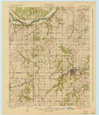
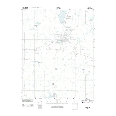
Loading map...1936 Map of Pawnee
USGS Topo · Published 1936About this map
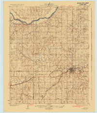
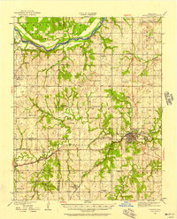
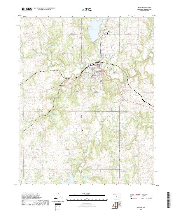
The Pawnee townsite serves as the central hub of this mid-1930s landscape, positioned where the St Louis and San Francisco railroad meets the meandering Black Bear Creek. This period reveals a densely settled rural community defined by its educational and industrial infrastructure. A remarkable network of over twenty country schools, including Pleasant Valley Sch, Lone Star Sch, and Skedee Valley Sch, indicates the distributed nature of the population across the townships of Eagle, Burnham, and Liberty.
Find a feature on this map
60 named features on this map. Tap any name to fly to it.
Don’t see what you’re looking for? This feature index may not catch every label — zoom into the map to look around manually.
Map Details
Date Portrayed1936
Date Published1936
PublisherU.S. Geological Survey
Map TypeTopographic
Scale1:62,500
Physical Dimensions17.5 x 20.4 inches
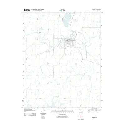
Editions of this 1936 Pawnee Map
2 editions found
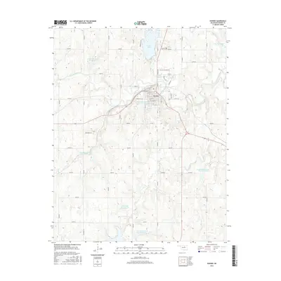
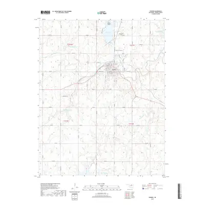
Historical Maps of Pawnee Through Time
8 maps found
Featured Locations
Source Details
SourceU.S. Geological Survey
CopyrightPublic Domain