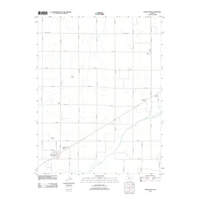
2012 Map of Pawnee Rock
USGS Topo · Published 2012About this map
Arkansas River flows through the southeastern portion of this Barton County landscape, defining the local topography alongside its tributary, Ash Cr. The settlement of Pawnee Rock serves as a primary focal point in the southwest, while Dundee marks the rail and highway corridor to the northeast. This area of central Kansas is characterized by a precise grid of rural roads and a deep-rooted community history evidenced by numerous burial grounds scattered across the plains, including Rockville Cem, Bergtal Cem, Pawnee Rock Cem, and Dundee Valley Cem. The map illustrates the contemporary infrastructure supporting these towns, such as the Pawnee Rock Water Treatment Facility, set against a landscape traditionally shaped by the river valley and the agricultural network of the High Plains.
Find a feature on this map
41 named features on this map. Tap any name to fly to it.
Don’t see what you’re looking for? This feature index may not catch every label — zoom into the map to look around manually.
Map Details
Editions of this 2012 Pawnee Rock Map
This is the sole edition of this map. No revisions or reprints were ever made.
Other maps of this area

1889 · Larned
USGS Topo · 1:125,000

1891 · Great Bend
USGS Topo · 1:125,000

1891 · Larned
USGS Topo · 1:125,000

1893 · Great Bend
USGS Topo · 1:125,000

1955 · Great Bend
USGS Topo · 1:250,000

1957 · Great Bend
USGS Topo · 1:250,000

1958 · Great Bend
USGS Topo · 1:250,000

1958 · Great Bend
USGS Topo · 1:24,000

1959 · Great Bend NE
USGS Topo · 1:24,000

1960 · Pawnee Rock
USGS Topo · 1:24,000