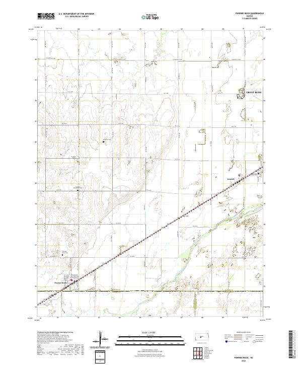
2022 Map of Pawnee Rock
USGS Topo · Published 2022About this map
Pawnee Rock serves as the focal point of this Central Kansas landscape, where the flat river plains meet the rising bluffs of the Great Plains. The township is situated at a historic juncture where the Arkansas River flows southeast, creating a fertile corridor that has long supported agriculture and settlement. This 2022 survey captures the modern rural layout, defined by a rigid grid of section roads like W Barton Co Rd and SW 10 Rd, which separate vast agricultural tracts. For those researching local history, the map preserves the location of several significant burial grounds, including the Berghthal Mennonite Cem and Rockville Cem, reflecting the early religious and community centers of Barton County. Further east, the small settlement of Dundee sits near the Arkansas River, while Ash Cr meanders through the southwestern corner of the quadrangle, illustrating the importance of natural watercourses in an otherwise arid environment.
Find a feature on this map
56 named features on this map. Tap any name to fly to it.
Don’t see what you’re looking for? This feature index may not catch every label — zoom into the map to look around manually.
Map Details
Editions of this 2022 Pawnee Rock Map
This is the sole edition of this map. No revisions or reprints were ever made.
Other maps of this area

1889 · Larned
USGS Topo · 1:125,000

1891 · Great Bend
USGS Topo · 1:125,000

1891 · Larned
USGS Topo · 1:125,000

1893 · Great Bend
USGS Topo · 1:125,000

1955 · Great Bend
USGS Topo · 1:250,000

1957 · Great Bend
USGS Topo · 1:250,000

1958 · Great Bend
USGS Topo · 1:250,000

1958 · Great Bend
USGS Topo · 1:24,000

1959 · Great Bend NE
USGS Topo · 1:24,000

1960 · Pawnee Rock
USGS Topo · 1:24,000