1996 Map of Pax
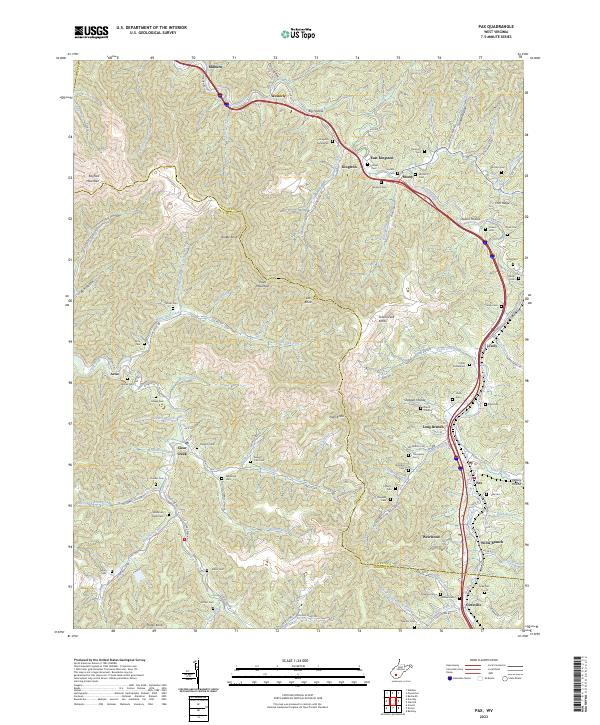
USGS Topo · Published 2002About this map
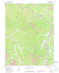
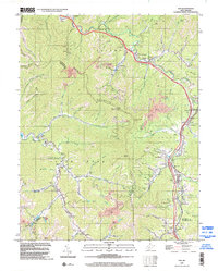
Paint Mountain and the Town Plateau define the high terrain of this West Virginia coal country at the close of the twentieth century. The landscape is marked by the industrial footprints of numerous Strip Mine operations and a complex transportation network that includes the West Virginia Turnpike, complete with its Tollgate near Mossy. Deep in the hollows and along the winding watercourses like Clear Fork and Paint Fork, a dense network of family-named cemeteries and small settlements reveals the area's social history. Genealogists can trace family names through sites such as the Workman Cem, Lafferty Cem, and Wriston Cem. The map captures the transition between the traditional mining communities of Milburn and Kingston and the modern infrastructure of the turnpike's Interchange 60, while the presence of the Plum Orchard Lake State Wildlife Mgmt Area indicates the regional focus on conservation and recreation.
Find a feature on this map
105 named features on this map. Tap any name to fly to it.
Don’t see what you’re looking for? This feature index may not catch every label — zoom into the map to look around manually.
Map Details
Editions of this 1996 Pax Map
This is the sole edition of this map. No revisions or reprints were ever made.