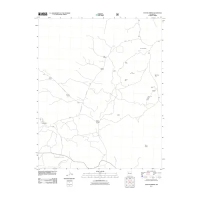
2011 Map of Paxton Springs
USGS Topo · Published 2011About this map
Agua Fria Creek meanders through the high country of Cibola County, passing near the settlement of Paxton Springs in this 2011 survey. The landscape is defined by its mining history and rugged volcanic features, evidenced by the numerous mineral interests scattered across the terrain. Prospectors and geologists can trace several named sites such as the Stella Mae Prospect, the Malpais Group Mine Juniper Deposit, and the evocatively named Holy Terror Prospect.
Find a feature on this map
24 named features on this map. Tap any name to fly to it.
Don’t see what you’re looking for? This feature index may not catch every label — zoom into the map to look around manually.
Map Details
Editions of this 2011 Paxton Springs Map
This is the sole edition of this map. No revisions or reprints were ever made.
Other maps of this area

1883 · Mt. Taylor
USGS Topo · 1:250,000

1886 · Wingate
USGS Topo · 1:250,000

1886 · Mt. Taylor
USGS Topo · 1:250,000

1892 · Wingate
USGS Topo · 1:250,000

1892 · Mt. Taylor
USGS Topo · 1:250,000

1899 · Mt. Taylor
USGS Topo · 1:250,000

1917 · Broom Mountain
USGS Topo · 1:125,000

1951 · Mt Sedgwick
USGS Topo · 1:24,000

1952 · Valle Largo
USGS Topo · 1:24,000

1952 · Post Office Flat
USGS Topo · 1:24,000