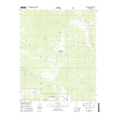
2017 Map of Paxton Springs
USGS Topo · Published 2017About this map
Paxton Springs sits at the geological heart of this section of the Zuñi Mountains, where the high desert terrain meets significant volcanic features. The landscape is defined by the Continental Divide, a literal and metaphorical spine that separates the watershed and dictates the flow of Agua Fria Cr. To the south, the dramatic volcanic topography of the El Malpais National Monument is represented by the prominent Bandera Crater, showcasing the area's complex igneous history.
Find a feature on this map
32 named features on this map. Tap any name to fly to it.
Don’t see what you’re looking for? This feature index may not catch every label — zoom into the map to look around manually.
Map Details
Editions of this 2017 Paxton Springs Map
This is the sole edition of this map. No revisions or reprints were ever made.
Other maps of this area

1883 · Mt. Taylor
USGS Topo · 1:250,000

1886 · Wingate
USGS Topo · 1:250,000

1886 · Mt. Taylor
USGS Topo · 1:250,000

1892 · Wingate
USGS Topo · 1:250,000

1892 · Mt. Taylor
USGS Topo · 1:250,000

1899 · Mt. Taylor
USGS Topo · 1:250,000

1917 · Broom Mountain
USGS Topo · 1:125,000

1951 · Mt Sedgwick
USGS Topo · 1:24,000

1952 · Valle Largo
USGS Topo · 1:24,000

1952 · Post Office Flat
USGS Topo · 1:24,000