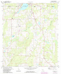
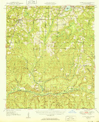
1973 Map of Paxton
USGS Topo · Published 1988About this map
Lake Jackson straddles the state line at the northern edge of this Florida-Alabama border survey, serving as a primary focal point for the surrounding communities of Paxton and Florala. The landscape south of the border is defined by a network of drainage systems, including Bear Flat Swamp and East Branch, which feed into Little Creek and Turkey Creek. The CSX railroad line cuts through the western portion of the terrain, connecting the settlement at Lakewood with the broader regional rail network.
Find a feature on this map
32 named features on this map. Tap any name to fly to it.
Don’t see what you’re looking for? This feature index may not catch every label — zoom into the map to look around manually.
Map Details
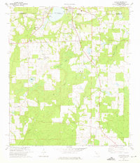
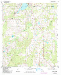
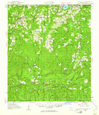
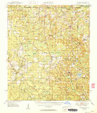
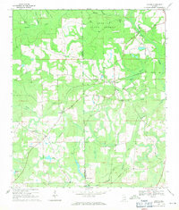
Editions of this 1973 Paxton Map
3 editions found
Other maps of this area

1949 · Glendale
USGS Topo · 1:62,500
1949 · Laurel Hill
USGS Topo · 1:62,500
1950 · Laurel Hill
USGS Topo · 1:62,500
1951 · Glendale
USGS Topo · 1:62,500

1953 · Andalusia
USGS Topo · 1:250,000

1957 · Andalusia
USGS Topo · 1:250,000

1957 · Pensacola
USGS Topo · 1:250,000

1959 · Pensacola
USGS Topo · 1:250,000

1960 · Pensacola
USGS Topo · 1:250,000
1969 · Hacoda
USGS Topo · 1:24,000