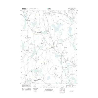
2012 Map of Paxton
USGS Topo · Published 2012About this map
Paxton serves as the central hub of this Worcester County landscape, situated atop a high plateau where several notable hills like Fox Hill and Crocker Hill define the local topography. The region is defined by an extensive network of water management, illustrated by the series of reservoirs including Kettle Brook Reservoir Number One, Kettle Brook Reservoir Number Two, Kettle Brook Reservoir Number Three, and Kettle Brook Reservoir Number Four. These water bodies, along with Pine Hill Reservoir and Holden Reservoir Number One, highlight the area's critical role in regional water supply.
Find a feature on this map
182 named features on this map. Tap any name to fly to it.
Don’t see what you’re looking for? This feature index may not catch every label — zoom into the map to look around manually.
Map Details
Editions of this 2012 Paxton Map
This is the sole edition of this map. No revisions or reprints were ever made.
Other maps of this area

1885 · Worcester
USGS Topo · 1:62,500

1886 · Worcester
USGS Topo · 1:62,500

1887 · Brookfield
USGS Topo · 1:62,500

1887 · Barre
USGS Topo · 1:62,500

1889 · Webster
USGS Topo · 1:62,500

1889 · Barre
USGS Topo · 1:62,500

1890 · Brookfield
USGS Topo · 1:62,500

1892 · Webster
USGS Topo · 1:62,500

1892 · Worcester
USGS Topo · 1:62,500

1893 · Brookfield
USGS Topo · 1:62,500