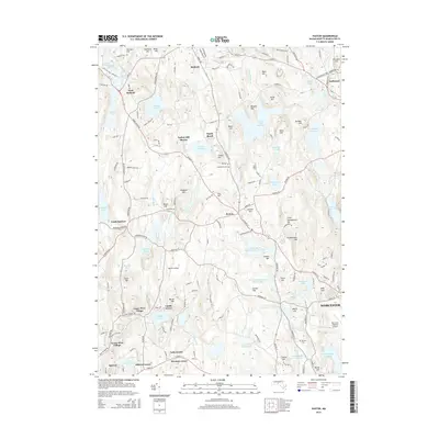
2015 Map of Paxton
USGS Topo · Published 2015About this map
Asnebumskit Hill dominates the central landscape of this Massachusetts interior, surrounded by a complex network of glacial hills and managed water resources. The town of Paxton serves as a hub for the region, positioned amidst significant heights like Little Asnebumskit Hill and Crocker Hill. To the south, the industrial heritage of the area is reflected in the residential clusters of Upper Wire Village and Lower Wire Village, while the southern reaches of Rutland and the northern edge of Spencer show the transition from agricultural roots to modern suburban settlement.
Find a feature on this map
157 named features on this map. Tap any name to fly to it.
Don’t see what you’re looking for? This feature index may not catch every label — zoom into the map to look around manually.
Map Details
Editions of this 2015 Paxton Map
This is the sole edition of this map. No revisions or reprints were ever made.
Other maps of this area

1885 · Worcester
USGS Topo · 1:62,500

1886 · Worcester
USGS Topo · 1:62,500

1887 · Brookfield
USGS Topo · 1:62,500

1887 · Barre
USGS Topo · 1:62,500

1889 · Webster
USGS Topo · 1:62,500

1889 · Barre
USGS Topo · 1:62,500

1890 · Brookfield
USGS Topo · 1:62,500

1892 · Webster
USGS Topo · 1:62,500

1892 · Worcester
USGS Topo · 1:62,500

1893 · Brookfield
USGS Topo · 1:62,500