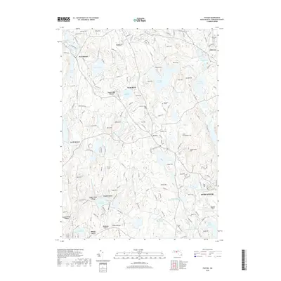
2018 Map of Paxton
USGS Topo · Published 2018About this map
The town of Paxton serves as a central hub on this Central Massachusetts landscape, surrounded by a complex system of reservoirs and high-elevation terrain. This modern survey illustrates the critical water infrastructure serving the region, including the Pine Hill Reservoir, Kettle Brook Reservoir Number One, and Lynde Brook Reservoir. The topography is defined by prominent peaks like Asnebumskit Hill and Brigham Hill, which overlook a mix of academic and residential developments. Significant landmarks such as Anna Maria College and the Spencer Airport reflect the area's continued growth and institutional importance.
Find a feature on this map
176 named features on this map. Tap any name to fly to it.
Don’t see what you’re looking for? This feature index may not catch every label — zoom into the map to look around manually.
Map Details
Editions of this 2018 Paxton Map
This is the sole edition of this map. No revisions or reprints were ever made.
Other maps of this area

1885 · Worcester
USGS Topo · 1:62,500

1886 · Worcester
USGS Topo · 1:62,500

1887 · Brookfield
USGS Topo · 1:62,500

1887 · Barre
USGS Topo · 1:62,500

1889 · Webster
USGS Topo · 1:62,500

1889 · Barre
USGS Topo · 1:62,500

1890 · Brookfield
USGS Topo · 1:62,500

1892 · Webster
USGS Topo · 1:62,500

1892 · Worcester
USGS Topo · 1:62,500

1893 · Brookfield
USGS Topo · 1:62,500