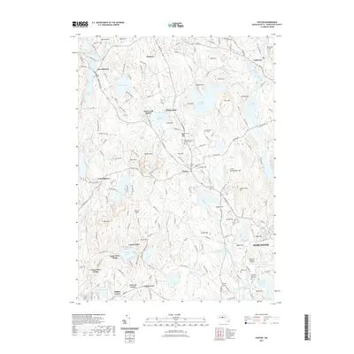
2021 Map of Paxton
USGS Topo · Published 2021About this map
Paxton serves as the central hub for this Worcester County landscape, situated amidst a dense network of hills and water catchments. The topography is defined by significant elevations such as Asnebumskit Hill and Pine Hill, which overlook a series of critical reservoirs including Pine Hill Reservoir, Kettle Brook Reservoir Number One, and Lynde Brook Reservoir. These water bodies, along with smaller features like Southwick Pond and Lake Whittemore, indicate the area's importance for regional water management and recreation.
Find a feature on this map
186 named features on this map. Tap any name to fly to it.
Don’t see what you’re looking for? This feature index may not catch every label — zoom into the map to look around manually.
Map Details
Editions of this 2021 Paxton Map
This is the sole edition of this map. No revisions or reprints were ever made.
Other maps of this area

1885 · Worcester
USGS Topo · 1:62,500

1886 · Worcester
USGS Topo · 1:62,500

1887 · Brookfield
USGS Topo · 1:62,500

1887 · Barre
USGS Topo · 1:62,500

1889 · Webster
USGS Topo · 1:62,500

1889 · Barre
USGS Topo · 1:62,500

1890 · Brookfield
USGS Topo · 1:62,500

1892 · Webster
USGS Topo · 1:62,500

1892 · Worcester
USGS Topo · 1:62,500

1893 · Brookfield
USGS Topo · 1:62,500