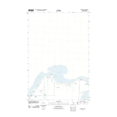
2011 Map of Payment
USGS Topo · Published 2011About this map
Sugar Island dominates this northern frontier landscape, bound by the waters of the Saint Marys River and Lake Huron. The map details the rural character of the island’s northern reaches, where small settlements like Payment, Churchville, and Brassar are connected by a network of shoreline roads including E Northshore Dr and S Westshore Dr. This 2011 survey captures the area’s reliance on the surrounding waterways, specifically showing the transition from the river's main flow into Little Lake George and the Old Channel.
Find a feature on this map
31 named features on this map. Tap any name to fly to it.
Don’t see what you’re looking for? This feature index may not catch every label — zoom into the map to look around manually.
Map Details
Editions of this 2011 Payment Map
This is the sole edition of this map. No revisions or reprints were ever made.
Other maps of this area

1913 · Sault Sainte Marie
USGS Topo · 1:62,500

1919 · Neebish
USGS Topo · 1:62,500

1941 · Neebish
USGS Topo · 1:63,360

1941 · Sault Sainte Marie
USGS Topo · 1:63,360

1951 · Baie De Wasai
USGS Topo · 1:24,000

1951 · Sault Ste. Marie
USGS Topo · 1:62,500

1951 · Sault Ste. Marie South
USGS Topo · 1:24,000

1951 · Payment
USGS Topo · 1:24,000

1951 · Lake George
USGS Topo · 1:62,500

1954 · Sault Sainte Marie
USGS Topo · 1:250,000