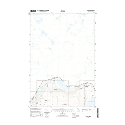
2014 Map of Payment
USGS Topo · Published 2014About this map
Sugar Island straddles the international boundary between Michigan and Ontario, defined here by the winding Old Channel and the expanse of Lake Huron. The southern portion of the island is marked by small settlements like Payment and Brassar, connected by local routes such as N Shore Dr and E Village Rd. This landscape is deeply tied to the water, with prominent landmarks like Churchville Point and Brassar Point extending into Lake George and Masta Bay.
Find a feature on this map
48 named features on this map. Tap any name to fly to it.
Don’t see what you’re looking for? This feature index may not catch every label — zoom into the map to look around manually.
Map Details
Editions of this 2014 Payment Map
This is the sole edition of this map. No revisions or reprints were ever made.
Other maps of this area

1913 · Sault Sainte Marie
USGS Topo · 1:62,500

1919 · Neebish
USGS Topo · 1:62,500

1941 · Neebish
USGS Topo · 1:63,360

1941 · Sault Sainte Marie
USGS Topo · 1:63,360

1951 · Baie De Wasai
USGS Topo · 1:24,000

1951 · Sault Ste. Marie
USGS Topo · 1:62,500

1951 · Sault Ste. Marie South
USGS Topo · 1:24,000

1951 · Payment
USGS Topo · 1:24,000

1951 · Lake George
USGS Topo · 1:62,500

1954 · Sault Sainte Marie
USGS Topo · 1:250,000