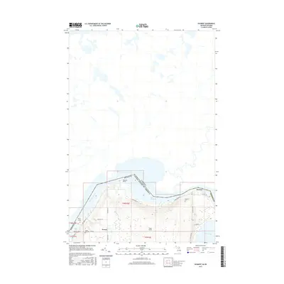
2017 Map of Payment
USGS Topo · Published 2017About this map
Sugar Island occupies the center of this international border survey, defined by its relationship with the Saint Marys River and the neighboring Canadian waters of the Old Channel. The settlement of Payment sits on the island's northeastern shore, where E Village Rd meets the coast near the Payment Cem. To the south, the community of Brassar is established near Brassar Point and Masta Bay, marked by the presence of the Brasser Road Cem. The island's geography is intricate, featuring small drainage systems like Stucker Cr and McFarland Cr that flow through the timbered interior. A network of local roads such as S Eastshore Dr and N Westshore Dr connects these isolated riverside settlements, tracing the shoreline that borders Lake George to the southeast.
Find a feature on this map
31 named features on this map. Tap any name to fly to it.
Don’t see what you’re looking for? This feature index may not catch every label — zoom into the map to look around manually.
Map Details
Editions of this 2017 Payment Map
This is the sole edition of this map. No revisions or reprints were ever made.
Other maps of this area

1913 · Sault Sainte Marie
USGS Topo · 1:62,500

1919 · Neebish
USGS Topo · 1:62,500

1941 · Neebish
USGS Topo · 1:63,360

1941 · Sault Sainte Marie
USGS Topo · 1:63,360

1951 · Baie De Wasai
USGS Topo · 1:24,000

1951 · Sault Ste. Marie
USGS Topo · 1:62,500

1951 · Sault Ste. Marie South
USGS Topo · 1:24,000

1951 · Payment
USGS Topo · 1:24,000

1951 · Lake George
USGS Topo · 1:62,500

1954 · Sault Sainte Marie
USGS Topo · 1:250,000