2023 Map of Payment
USGS Topo · Published 2023About this map
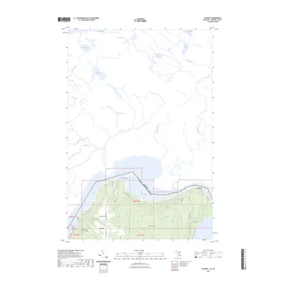
Sugar Island defines this section of the northern borderlands, where the international boundary between the United States and Canada follows the winding path of the Old Channel. The settlement of Payment sits on the island's northeastern shore, connected by local routes like E Village Rd and N Eastshore Dr. This landscape is heavily defined by its glacial hydrology, featuring a dense network of interior water bodies including Mabel Lake, Ann Lake, and Gordon Lake. Local history is anchored at the Payment Cem and Brasser Road Cem, which serve as vital markers for genealogical research in this northern Michigan frontier. To the west, the community of Brassar and its nearby Brassar Point look out over Masta Bay, illustrating the importance of water access for these remote island settlements.
Find a feature on this map
40 named features on this map. Tap any name to fly to it.
Don’t see what you’re looking for? This feature index may not catch every label — zoom into the map to look around manually.
Map Details
Editions of this 2023 Payment Map
This is the sole edition of this map. No revisions or reprints were ever made.
Other maps of this area

1913 · Sault Sainte Marie
USGS Topo · 1:62,500

1919 · Neebish
USGS Topo · 1:62,500

1941 · Neebish
USGS Topo · 1:63,360

1941 · Sault Sainte Marie
USGS Topo · 1:63,360

1951 · Baie De Wasai
USGS Topo · 1:24,000

1951 · Sault Ste. Marie
USGS Topo · 1:62,500

1951 · Sault Ste. Marie South
USGS Topo · 1:24,000

1951 · Payment
USGS Topo · 1:24,000

1951 · Lake George
USGS Topo · 1:62,500

1954 · Sault Sainte Marie
USGS Topo · 1:250,000