2011 Map of Payment OE E
USGS Topo · Published 2011About this map
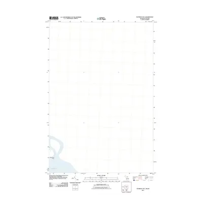
Churchville Point marks the small coastal projection where the land meets the cold waters of Lake Huron in this northern borderland area. Situated in the Algoma District near the Michigan-Ontario boundary, this section of the coast is largely characterized by open water and maritime geography. The shoreline, as mapped by the U. S. Geological Survey in 2011, highlights the specific coastal contours of the Great Lakes region before moving into the expansive blue of the open lake. This specific perspective focusing on the water's edge provides a clear record of the shoreline's shape at the beginning of the decade.
Find a feature on this map
2 named features on this map. Tap any name to fly to it.
Don’t see what you’re looking for? This feature index may not catch every label — zoom into the map to look around manually.
Map Details
Editions of this 2011 Payment OE E Map
This is the sole edition of this map. No revisions or reprints were ever made.
Other maps of this area

1919 · Neebish
USGS Topo · 1:62,500

1941 · Neebish
USGS Topo · 1:63,360

1951 · Baie De Wasai
USGS Topo · 1:24,000

1951 · Payment
USGS Topo · 1:24,000

1951 · Lake George
USGS Topo · 1:62,500

1954 · Sault Sainte Marie
USGS Topo · 1:250,000

1956 · Sault Sainte Marie
USGS Topo · 1:250,000

1957 · Sault Sainte Marie
USGS Topo · 1:250,000

1958 · Sault Sainte Marie
USGS Topo · 1:250,000

1961 · Blind River
USGS Topo · 1:250,000