
1961 Map of Blind River
USGS Topo · Published 1966About this map
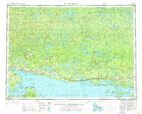
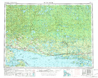
The North Channel of Lake Huron serves as the focal point for this early 1960s study, illustrating the dense network of islands and coastal settlements along the international boundary. The map documents the sprawling Mississagi Provincial Forest and the La Cloche Mountains, highlighting a transition from the industrial and transport corridor of the Canadian Pacific railroad to the remote interior lake systems. Along the shoreline, established towns like Blind River and Bruce Mines are detailed alongside island communities such as Hilton Beach on St Joseph Island. This survey captures the region's geography before significant modern expansion, preserving the locations of smaller settlements like Sylvan Valley and Wharncliffe that once supported the local timber and mining economies.
Find a feature on this map
69 named features on this map. Tap any name to fly to it.
Don’t see what you’re looking for? This feature index may not catch every label — zoom into the map to look around manually.
Map Details
Editions of this 1961 Blind River Map
3 editions found
Other maps of this area

1919 · Neebish
USGS Topo · 1:62,500

1941 · Neebish
USGS Topo · 1:63,360

1951 · Lake George
USGS Topo · 1:62,500

1953 · Munuscong NE
USGS Topo · 1:24,000

1954 · Alpena
USGS Topo · 1:250,000

1954 · Sault Sainte Marie
USGS Topo · 1:250,000

1955 · Cheboygan
USGS Topo · 1:250,000

1956 · Sault Sainte Marie
USGS Topo · 1:250,000

1957 · Alpena
USGS Topo · 1:250,000

1957 · Sault Sainte Marie
USGS Topo · 1:250,000